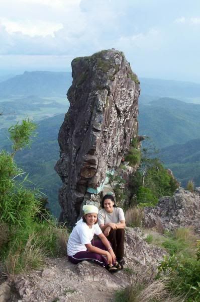
Elevation (feet): 2178
Elevation (meters): 664
Difficulty: Walk up
Best months for climbing: April, May
Convenient Center: Maragondon, Cavite
Nearest major airport: Manila
Why this was mountain was called Pico de Loro? Because the peak is a view of the adjacent rock face which resembles a Parrot's peak. The terrain is covered with loose rocks and soft soil.Summit is flat with an area of 3-4 square meter, no vegetation aside from the grasses thriving on its slopes. Though not really that high, the view from the summit is awesome, facing tranquil seas on the northeastern side.


No comments:
Post a Comment